
WALKS
-
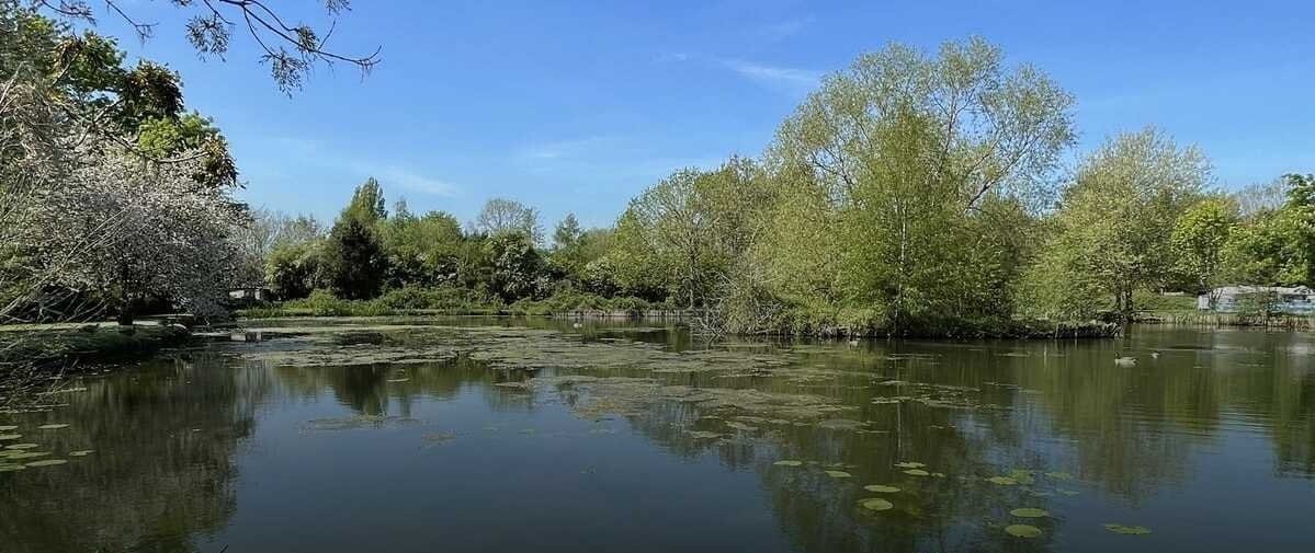
Ombersley - Holt Fleet Circular
Distance: ~6 miles (9.7 km), ~2 hours
Highlights: Riverside paths, Holt Fleet Bridge, Holt Lock, pub stop, varied scenery
Map & GPX:https://www.alltrails.com/trail/england/worcestershire/ombersley-holt-fleet-circular
-
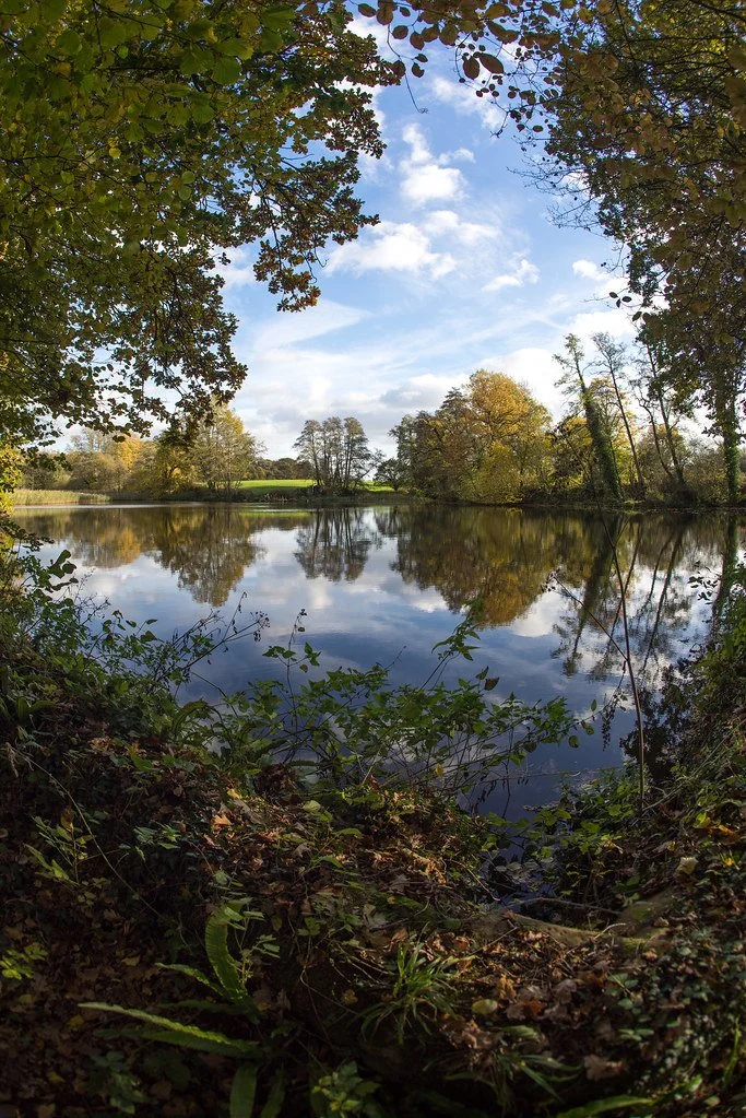
Ombersley Park, Gardner’s Grove & Nunnery Wood Loop
Distance: ~8.4 miles (13.4 km), ~3 hours
Highlights: Estate parkland, ancient woodlands, wildlife-rich, modest hillsMap & GPX:
Planning & Practical Tips for Walkers
Before setting off on any walk, take a moment to plan ahead
-
Know your route, check the conditions, and always carry essential, especially water, which is vital on warmer days. Preparation ensures your walk is not only enjoyable but safe and stress-free.
Navigation
Download detailed GPX and interactive maps from:
Traditional map users should bring OS Explorer Map 204 – Worcester & Droitwich Spa. |
Difficulty | Walks range from easy riverside loops (~5–6 km) to moderate woodland and countryside circuits (~10–12 km). Most trails are clearly marked, but can become muddy or uneven after rainfall. Shorter walks may suit families or casual walkers. |Highlights | - Scenic River Severn and canal-side views
Historic bridges such as Holt Fleet Bridge
Peaceful woodland trails through Nunnery Wood and Ombersley Park
Wildlife spotting: kingfishers, deer, owls, and seasonal flora
Local hospitality: pubs like The Holt Fleet Inn, The Crown and Sandys Arms, and The Fruiterers Arms |Facilities | There are no public toilets on most trails, so plan accordingly.
Convenient facilities available at:
The Holt Fleet Inn — riverside pub with food, restrooms, and ample parking
The Crown and Sandys Arms — centrally located in Ombersley
The Fruiterers Arms — great for off-route walkers near Uphampton |
Health, Water & Essentials | - Carry at least 1L of water per person, especially in summer or on longer trails.
Bring snacks or light provisions, as there are no shops or kiosks mid-route.
In warmer months, wear sunscreen, a hat, and bring insect repellent for wooded areas.
If you're prone to hay fever, consider antihistamines during spring and summer walks.
A small first-aid kit and plasters for blisters are good additions for longer hikes.
Footwear & Accessibility | - Wear sturdy walking boots or shoes with grip, particularly on woodland or riverside paths.
Canal and towpaths are mostly flat and accessible for pushchairs, mobility scooters, and wheelchairs.
Expect stiles and livestock on rural routes—dogs must be kept on leads.
Waterproofs are advised, and walking poles can help with balance on uneven terrain. |
Extra Tools & Safety | - Use live route tracking via Komoot, AllTrails, or Hiiker for real-time navigation.
Mobile signal is generally good, but can drop in deeper woodlands—consider downloading maps offline.
Let someone know your planned route and expected return time if walking alone.
Join guided walks with the Worcester Ramblers for added safety and local insights. |
-
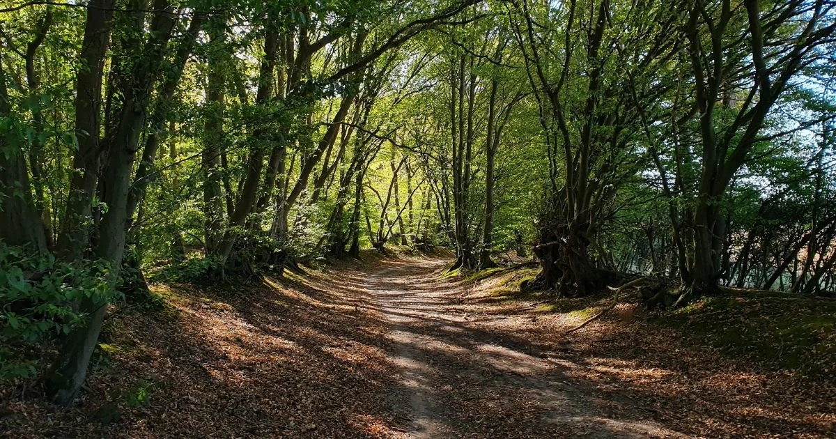
Ombersley Circular via Droitwich Canal & River Severn
Distance: ~7½ miles (12.4 km), ~3½ hours • Moderate difficulty
Route Summary: Uphampton → Lineholt Lane → riverside return
Map & GPX -
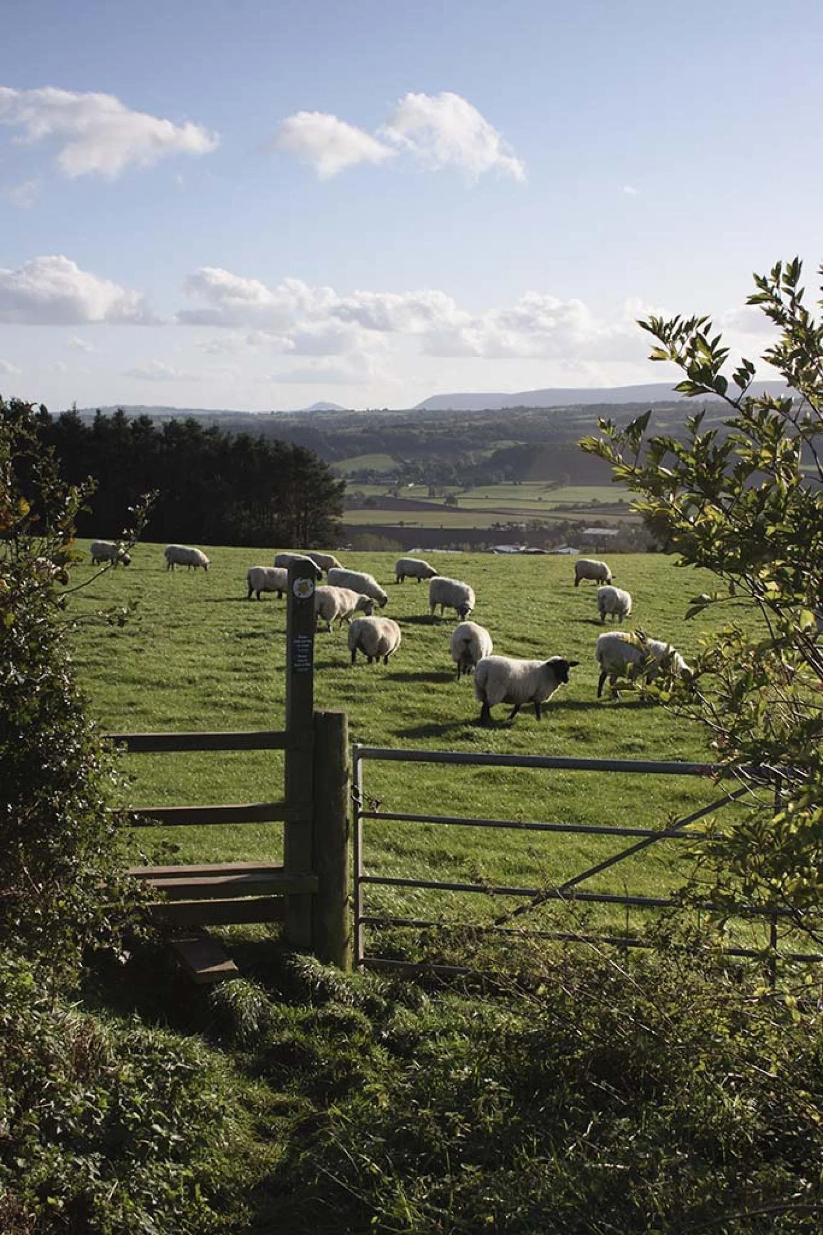
Ombersley to Holt Fleet Circular (Plotaroute)
Distance: ~6 miles (9.6 km), ~3–4 hours
Highlights: Quiet river paths, woodland, rhubarb fields, scenic variety
Map & GPX:
-
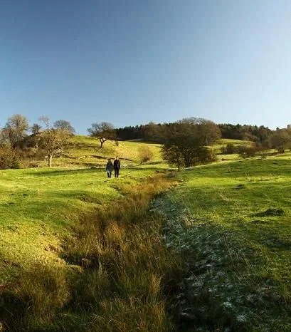
Wychavon Way (via Holt Fleet & Ombersley)
Part of: A 40-mile long-distance footpath from Droitwich Spa to Broadway, passing through Ombersley/Holt Fleet.
Experience: Way-marked countryside trail through meadows, woodlands, orchards, riverside pastures, with scenic views stretching across the Vale of Evesham and notable hills like Bredon.Map & GPX:
-
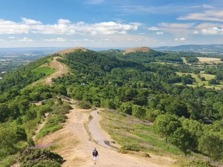
Worcestershire Way
Length & Route: The Worcestershire Way is a 31-mile (50 km) waymarked long-distance trail stretching from Bewdley to Great Malvern
Scenery & Highlights: The trail begins by the River Severn in Bewdley, crossing farmland and traversing scenic hills such as Abberley, Penny, Ankerdine, the Suckley Hills, and the northern Malvern Hills—culminating in Great Malvern.
Points of Interest: Along the route you'll encounter Ribbesford’s St Leonard's Church, Abberley Clock Tower, Birchwood Common (inspiring to composer Edward Elgar), North Hill in the Malverns, and St. Ann’s Well.
Map & GPX:
https://ldwa.org.uk/ldp/members/show_path.php?path_name=Worcestershire+Way&utm_source=chatgpt.com
Disclaimer: The Barn at Tytchney provides information about local attractions, services, and facilities purely for the convenience of our guests. This information is shared for reference only and does not constitute a recommendation or endorsement. Guests are encouraged to make their own inquiries and decisions when choosing to visit or use these services. Please note that The Barn at Tytchney does not accept any liability for the accuracy of this information or for the experiences provided by third-party establishments.
-
Most Scenic Walk for Early Sunsets
Holt Fleet Circular via River Severn (Ombersley Loop)Distance: ~6 miles (9.6 km) • 2–2.5 hours
Why it’s perfect for sunset:
West-facing stretches along the River Severn catch the golden hour beautifully
Open meadows and low horizons give you uninterrupted evening light
Ends by The Holt Fleet pub — ideal for a well-earned drink or dinner with a view
Start point: Ombersley village centre or Holt Fleet car park
Map & GPX: https://www.plotaroute.com/route/1193076#google_vignette
Pro tip: In summer, set off around 6:30–7:00 PM to enjoy a sun-washed return leg.
-
The Ramblers (Worcester Group) is generally a great option for visitors to the area. The Worcester group focuses on walks in and around Worcester, offering a variety of routes and distances, including some that end at pubs or tea rooms.
Visitors can expect a warm welcome from experienced walk leaders and fellow walkers, making it a good way to explore the area safely and in good company.
Join a Guided Walk with the Ramblers (Worcester Group)
If you prefer company, local insight, or simply enjoy walking with others, the Worcester Ramblers offer frequent guided group walks in and around Ombersley, Lineholt, and the wider Worcestershire countryside.
Why Join a Ramblers Walk?
Expertly led walks with local knowledge
Routes range from short circulars to full-day treks
A great way to meet people and explore new routes confidently
Many walks begin from Ombersley village, Holt Fleet, or nearby Droitwich
Upcoming Walks & Info:
Worcester Ramblers Website -www.worcesterramblers.org.uk
-
Website Link below-